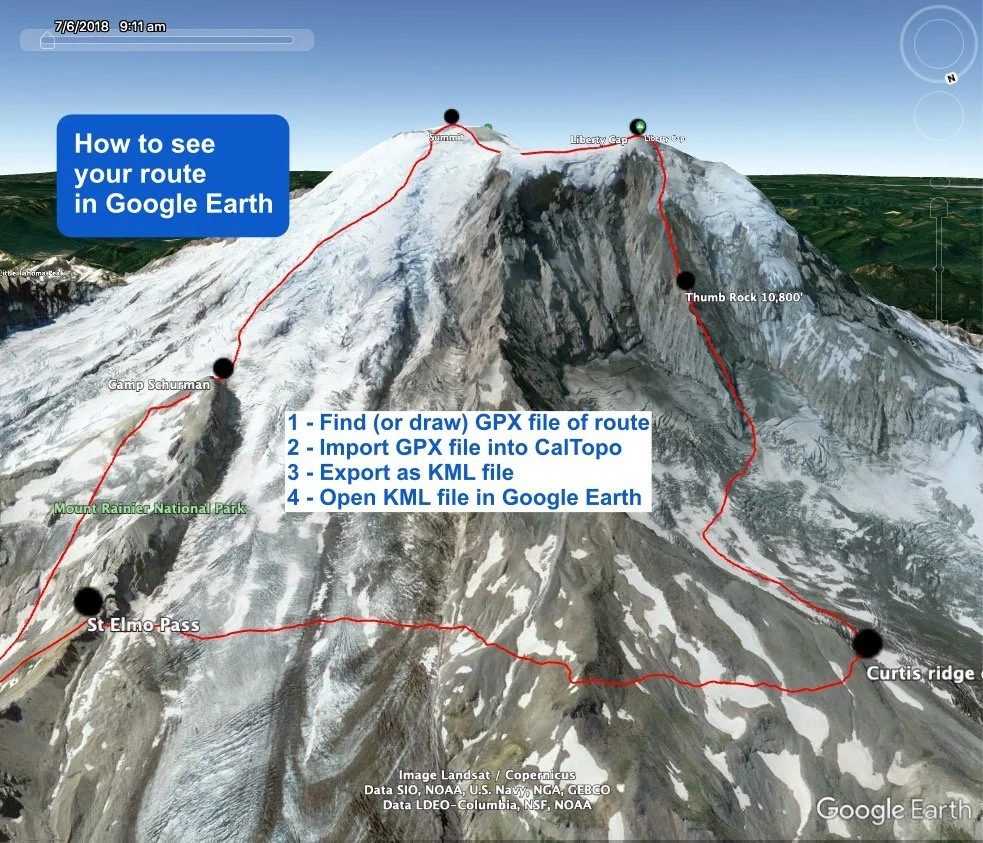
How to view GPX files in Google Earth
A GPX track file shows a continuous line of a mountaineering route, hike, mountain bike trail, or pretty much anything. It's of course great to have a GPX track on your phone GPS app to help with navigation in the field. But it's also really helpful to see it in Google Earth before you leave town to help visualize your route, and maybe save a few screen grabs to help with wayfinding on your actual trip.
(If you're looking for GPX files of climbing routes in the Pacific Northwest, a great place to start is right here on Alpinesavvy, where you can download more than 70 of the most popular routes.)
While Google Earth does import GPX files, it’s a bit of a bother. They display more easily if you convert them to a KML file first. A “KML” file (Keyhole Markup Language, in case you really wanted to know) is a file format of geographic data that plays nicely with Google Earth.
There are various ways to convert from GPX to KML. Here's a method that's fast and simple. Of course it’s my favorite mapping software, CalTopo! (If you'd like to learn the basics of Calopo, watch this video.)
Here’s a walk-through using the Liberty Ridge route on Mt. Rainier as an example.
First, find a GPX file of your route and open it in CalTopo. A GPX file can be either recorded by you, drawn in mapping software if you know the route, or downloaded from the web. (For climbing routes, peakbagger.com is a good source to find and download GPX tracks. Read this article for a step-by-step how to do this.)
Step 1: Go to caltopo.com, click “Import” on the top menu, and import your GPX file. It should open in CalTopo.
Step 2: Export the GPX file as a KML file. From the “Export” menu on the top row, select “KML for Google Earth”, and save the KML file to your hard drive.
Step 3 - Launch Google Earth and open the KML file. This should open the 3D fly-around splendor of Google Earth, with your route drawn in. Looking at your favorite mountain in Google Earth is great, but having your route drawn in is much better!
Take lots of screen grabs, they’re free and weigh 0.0 grams. One way is from the Google Earth menu, File > Save > Save Image. You can print them to take with you, save some on your phone, or both.
Take some from farther back showing the whole route . . .
and also some “close ups” .


