Wilderness Navigation
There are lots of handy tools you can keep on your phone to help with wilderness navigation. Here are some of my favorites. Better yet, pretty much all of them are free and weigh 0.0 grams!
You want to hike off trail to reach a lake. While you could measure the bearing from your (hopefully known) location to the lake and follow it if you have a map and compass, or get out your phone and stare at your screen for a mile or so, consider a hybrid method: the GPS bearing. Get the distance and bearing from your phone, and follow your compass to your objective.
A GPS device is an amazing backcountry navigation tool. But it still only gives you straight line bearing and distance to an objective, which is often not an option in the mountains. Augment your GPS with some basic contour reading skills to help you choose the best route.
CalTopo, the best backcountry mapping software, now has a comprehensive and user-friendly training website that covers every aspect of this mapping tool. After you learn the basics from some YouTube videos or practicing on your own, go here to take a deeper dive.
What's better than having a GPS track to help you stay on route? Having a route with waypoints added. This improves your situational awareness with “heads up” navigation, and minimizes time spent staring at your screen. (Saves phone battery too.)
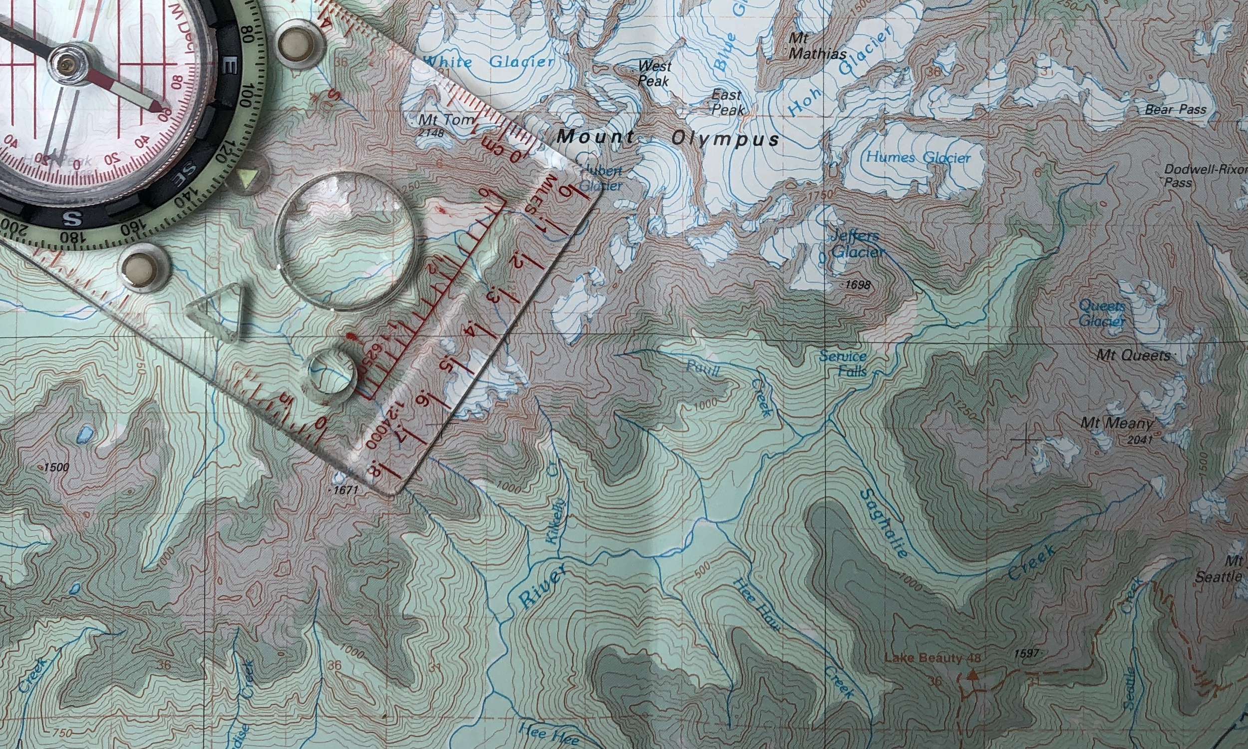
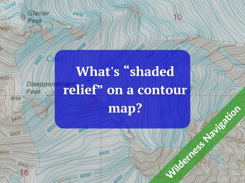
Shaded relief, a.k.a. hill shading, is a cool cartographic trick that helps you see topographic maps in more 3-D. While it’s very helpful to see features like creek drainage and ridgelines, it also is a cool optical illusion - if you turn the map upside down, the creeks and ridges reverse! It's a better show than a tell; check out the examples in the article.
CalTopo is a top choice for backcountry mapping software for many reasons. One big one is the ease of printing. Let's have a closer look at some of the print features of CalTopo, some obvious and some a little more hidden.
You can (probably) download maps covering an entire state (or small country) of the excellent “Gaia Topo” map layer in just a few minutes without maxing out your phone memory. This lets you ALWAYS have a great base map on your phone when outside of cell coverage.
Gaia GPS made a big update in 2020 to their standard base map, called Gaia Topo. Learn some of the upgrades and see some examples of different zoom levels. It might be the one go-to map layer that you can use for almost everything!
Climbers love to politely argue, from a sunny summit, the question of ”What’s that peak?” Here's a way to answer that question with the great mapping software CalTopo, but you'll have to wait till you get home.
It's not the most reliable, and may require some clicking around, but the publicly posted tracks at GaiaGPS.com can often give you a track for your hike or climb when no other source works out. Here's how to go spelunking and (maybe) find a GPX track for a hike or climb.
Want to quickly measure straight-line distance between points on your map? Just take a twig, and break it to match a mile or kilometer on your map’s scale bar.
“Triangulation”, espoused In just about every navigation book, is a method of using a map and compass together to theoretically get yourself unlost in the backcountry. What the books fail to mention is that it only works in extremely favorable circumstances, and should not be relied upon to stay found. Learn the three cases where triangulation fails.
This week - map scale. Understanding scale lets you calculate real world distances on a topo map. You have a map with a ratio scale of 1:50:000. One cm on your map equals how many km in the real world? Would a 1:100,000 scale map be a good choice for a technical climbing trip? How can you use a twig to measure distance on your map?
“Which Way Wednesday”, features a post about wilderness navigation or trip planning. We’ll share a few excerpts from the Wilderness Navigation Challenge; this week - contours and terrain. What’s a saddle look like on a topo map? The contour lines are bending; does that show a ridgeline or a gully? I see a closed circle on a topo map; is that a mountain top, or just a small knoll? How is the summit of a major mountain indicated on a topo map?
“Which Way Wednesday”, features a post about wilderness navigation or trip planning. We’ll share a few excerpts from the Wilderness Navigation Challenge, this week - contours and terrain. Understanding these lets you “read” a topo map. When contour lines cross a gulley or ridgeline, which way did they bend? Does a stream flow into or out of a lake? How can you tell higher vs. lower elevation areas just by looking at stream patterns?
“Which Way Wednesday”, features a post about wilderness navigation or trip planning. We’ll share a few excerpts from the Wilderness Navigation Challenge, covering contours and terrain. What’s an index contour? Are contour intervals the same on every map? How can you use them to determine elevation of a point on the map?
Today is “Which Way Wednesday”, with a post about wilderness navigation or trip planning. We’ll share a few excerpts from the Wilderness Navigation Challenge, covering exactly why a map is more useful than a compass, why USGS quad maps are lame, and why you probably want a map with shaded relief.
You probably don't need to use this for every trip, but for outdoor adventures in extreme wet or demanding environments, waterproof paper is just the ticket.
Gaia GPS has an astounding number of map layers for you to choose from. Here's a short list of my personal favorites.
Need to contact 911 when you're in the backcountry? Better have a way to tell them where you are. Learn several ways to get your latitude longitude coordinates from your phone.
Want to instantly see the correct declination for anywhere on earth? One click on this Google map gives you the answer. (Forget about entering your zip code or latitude longitude coordinates on those other clunky websites.)
Tired of using ancient USGS topo maps printed decades ago that lack modern roads and trails? Discover the benefits of using “open source” maps, the Wikipedia of cartography.
Headed for New Zealand or Patagonia? That compass you bought in North America might not work. Here's two solutions.
Sure, you can use the free version of this superb mapping software, but for a modest subscription fee you get a few more very helpful features.
Trails you know very well, and trails you've never been on it all, generally pose a low probability of getting lost. It's those “I-was-on-this-hike-a-few-years-ago-and-pretty-much-remember-where-it-goes” that can get you.
In Gaia GPS, the “create route” tool is a sort of hack to quickly see the distance between two or more points on your map.
Most people think the string/lanyard on your compass is for hanging around your neck. That’s actually not the best place.
Caltopo has one map base layer that’s a superb choice for most any backcountry adventure - MapBuilder Topo. See a side-by-side comparison of the old-school USGS map.
Gaia GPS is a great navigation app for your smartphone, with loads of map layers to choose from. Even so, you may want to access ones they don't have, such as Google Earth satellite imagery or Open Topo. Adding a custom map layer is easy once you know how.
There are lots of options for compasses. Let’s make it easy - here’s 3 recommended models from Suunto that should cover the needs of every backcountry traveller.
“Shaded relief” is a bit of cartographic wizardry that tricks your eye and brain into seeing the landscape in almost 3-D. It makes seeing terrain features like ridges and gullies much easier than with a standard topographic map. It's quick and free to print your own shaded relief maps with Caltopo.
A large metal object, like your car, and the delicate magnetic needle of your base plate compass, do not play well together. Read this cautionary tale.


