What are the most useful Gaia GPS map layers?
Gaia GPS, one of the best available smart phone apps for wilderness navigation, has an amazing bounty of map layers. It's easy to get a little overwhelmed and wonder which ones might be best for a particular activity.
If you're fairly new to Gaia, you may want to check out layers listed below. No doubt you’ll come up with your own favorites over time, but these will be a great start.
(Note, some of these might be only available with a Premium subscription.)
Driving urban areas and paved roads: MapBox Streets HD
Major roads are clearly delineated, easy to read at a glance while you’re driving, pretty good points of interest. Nice road network, but no elevations. Minor roads can be a little hard to see.
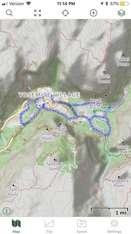
Bike riding, some trail hiking, and driving obscure backroads: Open Cycle
Small roads have the same line weight as bigger ones, so it’s easy to see when you’re at a tiny junction. Open source maps means map features are likely going to be more accurate than other sources. Note the bicycle path in the valley floor in blue, but also all of the hiking trails are shown, in red dashes. Contours and shaded relief are shown, but no elevations. (The resolution of my screen grab below for some reason looks a little fuzzy, it’s quite a bit better in real life.)
Satellite view: Satellite with labels
Gaia GPS has several different satellite layers, and “Satellite with label” is my favorite. It seems to have the clearest imagery, especially when you zoom way in, and having roads labeled is a big help. (They recently have added a hydrology layer, which shows every little tiny stream at a certain zoom level, which is kind of distracting.)
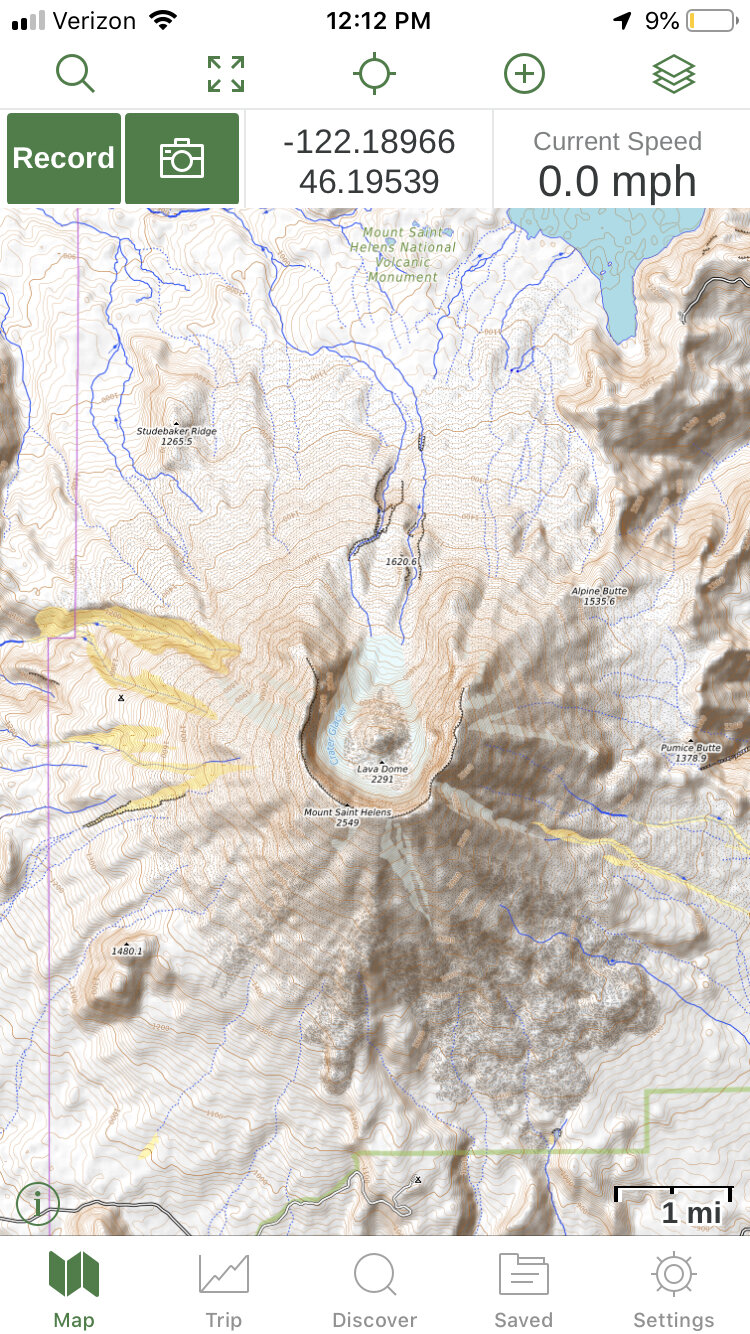
Backcountry hiking and climbing: Outdoors and Open Topo
The rather boringly titled “Outdoors” layer is a worldwide topo map based on Open Street Map, that has labeled hiking trails, ski runs, and mountain peaks, as well as shaded relief and easy to read contour lines. (You can see the same layer in Caltopo where it’s called “TF Outdoors”.)
Note the easy to see and well labeled hiking trails, even when you're zoomed pretty far out.
The Open Topo layer has great shaded relief, shows some general terrain such as forest, rock, and snow, has lots of streams and drainages (sometimes too many, IMHO), contours and elevation (in meters). It does have trails, but they are a little harder to see and use need to be zoomed in pretty close.
Open Topo is no longer part of Gaia GPS, so you need to add it as a custom layer (which, like most things in life, is easy once you know how.) Learn to add Open Topo as a custom Gaia map layer here.


