Google maps pro tip - Full 3D in satellite view
Here’s a very cool yet little known function in Google maps - Satellite view 3-D fly around, which makes Google maps behave pretty much like Google Earth. This is great for scoping out your next backcountry adventure. Super simple, here's how to do it.
(Open Google maps up a new browser tab and give it a try!)
Zoom into your favorite mountain in Google maps.
Change to satellite view by clicking the satellite icon in the lower left corner. (Yes, it still looks pretty useless, but wait, it gets better!)
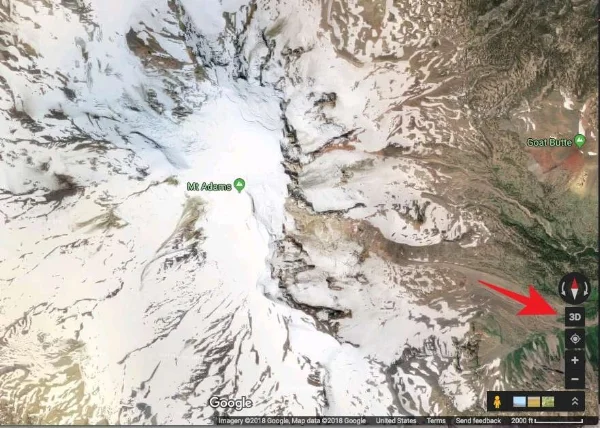
Click the “3D” button in the lower right corner.
Hold down the control key on your keyboard, and left click and drag.
Use the scroll wheel on your mouse to zoom in and out. (Yes, a mouse with a scroll wheel is a big help here.)
This gives you complete 3-D viewing. Click the 2-D button to go back into "direct overhead" view.
Before this feature, the only way you could do this was to zoom around in Google Earth, which takes longer to load and has a bit of a learning curve to effectively fly around.
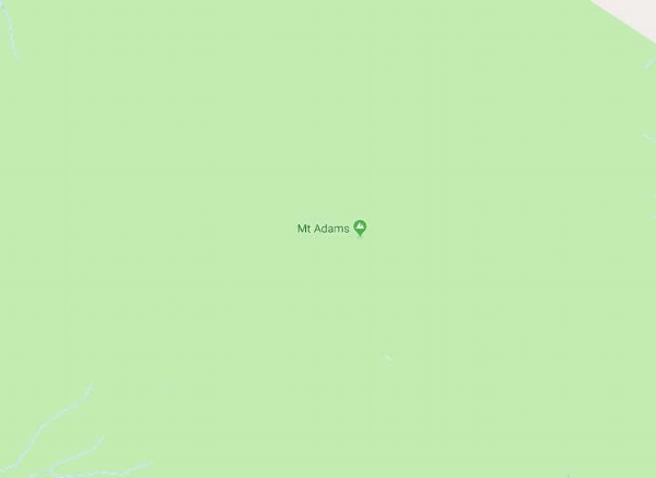
Mt. Adams (WA) in 2D Google maps, standard view, YAWN!
Mt. Adams in 2D Google maps, satellite view. More useful! Click "3D" in the lower right.
Now we're cooking! Zoom and pan around the mountain like Google Earth, to see the satellite view in 3-D.


